Tonga. When the cables broke.
On 15 January 2022 the Hunga Tonga–Hunga Haʻapai eruption severed the kingdom's sole undersea fibre, knocking 105,000 people off the global network. Within hours, Satellize provided the sovereign satellite picture — and the backbone link that kept Nukuʻalofa connected to the rest of the world.
What we run.
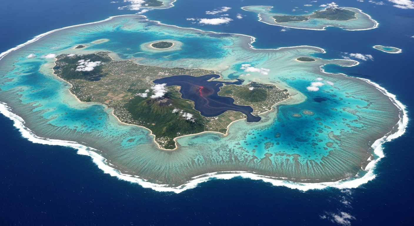
The Kingdom of Tonga is the first Pacific Island state to operate sovereign satellite and backbone capacity through Satellize. Optical and SAR tasking, processed at a Nukuʻalofa-hosted ground station, with command and control retained inside the Tongan civil service.
Within six hours of the eruption we had a sovereign Tongan look at the impact zone — and the means to push the picture out to the National Emergency Management Office. Sub-meter optical imagery and all-weather SAR cut through the ash and cloud, while a Ka-band backbone kept the kingdom connected for the 84 hours it took to splice the cable.
The relationship has continued through the recovery and into a longer programme of operator certification, knowledge transfer and routine tasking. Day-to-day mission control authority is now in the hands of Tongan personnel, with our Hyderabad team in a back-stop role.
The open record.
Verified third-party reading from the open record. Every link checked HTTP 200 at build time.
“The cables broke. The eye in the sky did not.”