Satellize — sovereign space programs
Own your space
Satellize designs, builds and operates sovereign space programs — payload, ground segment and operations — for nations that refuse to rent their orbit. Founded 2018. Offices in Dubai, Noordwijk, Mumbai and Hyderabad.
Recent events have shown that every country needs its sovereign space infrastructure.
Space sovereignty is like freedom: you don't appreciate its value till it's taken away from you.
You may take today's networks for granted: till your soldiers are blinded because their GPS has been shut by a 3rd country, till you can't communicate because some CEO shut down your satellite network, till you can't see your own borders because some other nation's president blocked its images from reaching you.
P.S. all of this has already happened.
Satellize is an independent firm that delivers the whole of a space program: mission design, satellites, sensors, launch, ground stations, mission control and the people trained to run them. And if you never want to touch a spacecraft, we sell the results instead: deep satellite-data analytics, run by our in-house analysts and science team.
When someone else owns your space, they own you
History is full of nations whose progress was blunted, paused or reversed because someone else controlled the satellite, the signal or the launch slot. Five examples, well-documented. And there are another 50 more here.
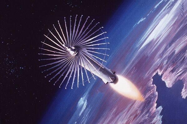
Moscow ramps up co-orbital interceptor tests against its own Cosmos targets. Washington commissions an ASAT response of its own, and any near-term arms-control deal in space is shelved for a generation.
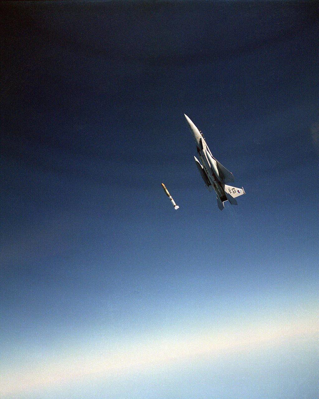
President Carter unilaterally pauses American ASAT development, hoping to bring the Soviets back to arms-control talks. The talks collapse; the moratorium quietly expires and the work resumes.
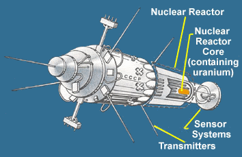
A Soviet nuclear-powered radar satellite re-enters uncontrollably and scatters radioactive debris across the Northwest Territories. Canada bills Moscow $6M for the cleanup. The Soviets pay half.
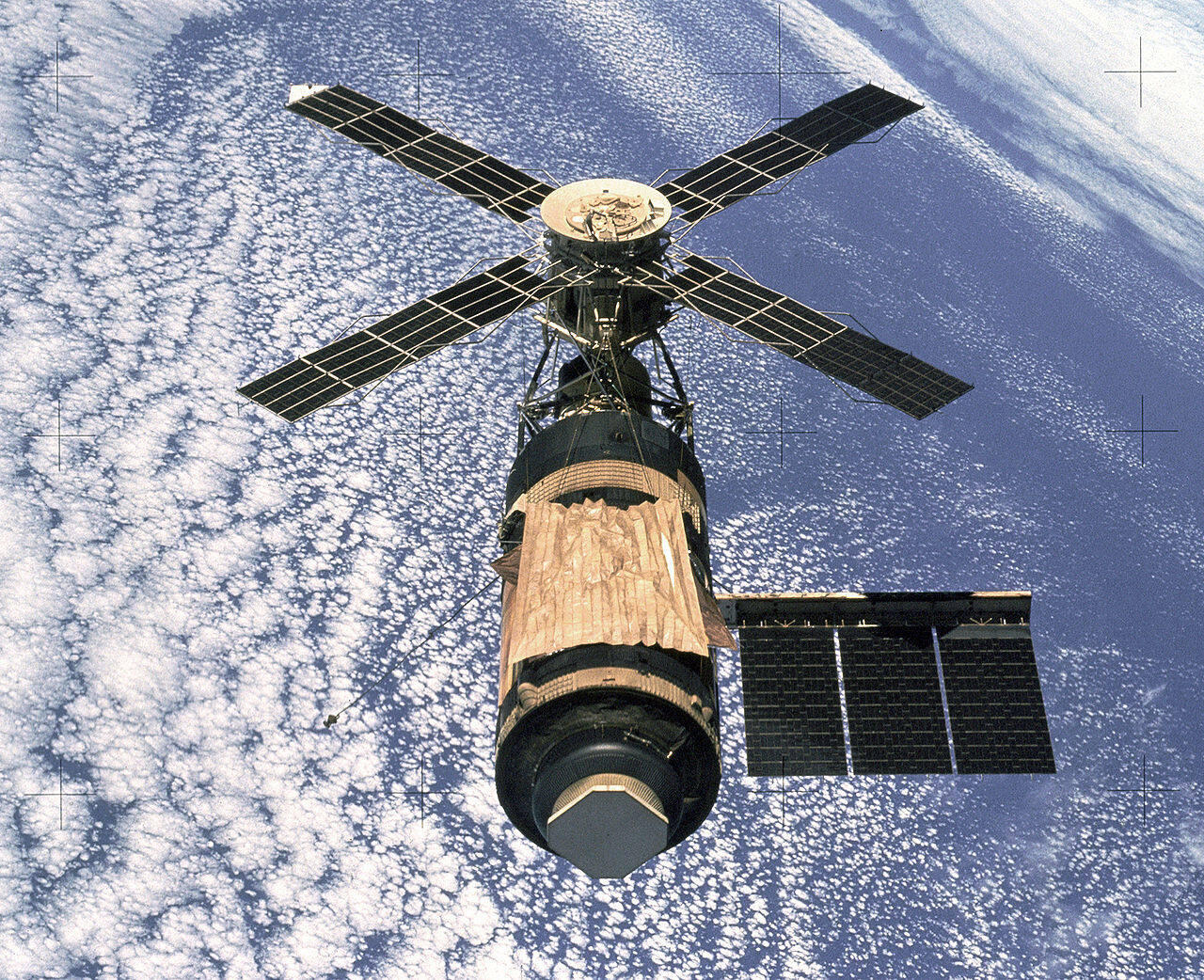
NASA loses control of Skylab on re-entry; debris peppers Western Australia. The shire of Esperance, in the polite tradition, issues NASA a $400 littering ticket — finally settled, decades later, by an American radio host.
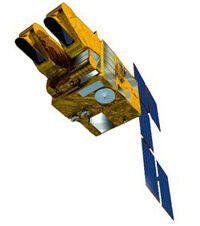
CNES commits to the SPOT programme to break European reliance on US Landsat imagery. The first commercial high-resolution Earth-imagery competitor is born — funded explicitly to escape American gatekeeping.
See the full record of interferences — forty-plus documented incidents, 1976–2026.
The two roadblocks
Expertise
Building satellites, payloads, ground systems, mission control software and trained operators has historically taken nations twenty to thirty years of in-house investment to develop. Most countries simply ran out of patience.
Money
A traditional sovereign program cost billions of dollars, spread across decades, with no certainty of operational capability at the end. Most national budgets — and most political cycles — could not absorb that arithmetic.
Why Satellize
Five satellites in orbit. Eight years of flight heritage.
Since 2018 we have designed, built, integrated and operated satellites flown on SpaceX, ISRO and Arianespace launchers. Our core team brings deep flight experience from ISRO, NASA, ESA and the global aerospace primes — payloads, bus architecture, radiation hardening, ground links, and mission ops.
Among the most affordable programs on the planet
We engineer in India, integrate to global standards, and price to the realities of national budgets — not to the margins of listed primes. A sovereign first-light program now starts in the low tens of millions, not in the billions, with operations inside eighteen months.
Sixteen sectors that already run on space
Sovereign space programmes are not luxuries; they are infrastructure. The 16 sectors here with 141 sub-sectors and 734 applications already run on satellite data. The question is whether the benefits will accrue to you, or to someone else who owns the infrastructure while flying over you.
- Connectivity, Communications & Digital Access — 11 subsections, 69 applications.
- Navigation, Positioning, Timing & Autonomous Mobility — 9 subsections, 50 applications.
- Agriculture, Food Security & Rural Land Systems — 8 subsections, 43 applications.
- Oceans, Maritime, Fisheries & Blue Economy — 9 subsections, 50 applications.
- Climate, Carbon, Nature & Environmental Compliance — 10 subsections, 51 applications.
- Weather, Disasters, Emergency Response & Resilience — 10 subsections, 51 applications.
- Defence, Intelligence & Military Space — 10 subsections, 50 applications.
- Borders, Public Safety, Law Enforcement & Critical Infrastructure Security — 8 subsections, 40 applications.
- Cities, Land Administration, Property & Urban Intelligence — 9 subsections, 45 applications.
- Infrastructure, Construction, Transport Corridors & Civil Works — 8 subsections, 40 applications.
- Energy, Mining, Utilities & Industrial Operations — 8 subsections, 40 applications.
- Finance, Insurance, Trade & Economic Intelligence — 8 subsections, 40 applications.
- Health, Education, Humanitarian Development & Social Protection — 8 subsections, 40 applications.
- Space Infrastructure, Operations & Orbital Safety — 8 subsections, 40 applications.
- Science, Exploration, Cislunar & Future Space Economy — 9 subsections, 45 applications.
- Frontier Space Systems — 8 subsections, 40 applications.
Twelve institutions. One sovereign answer.
- Defence ministries — ISR, force protection, denied-environment PNT
- Foreign ministries — Treaty verification, sanctions monitoring
- Intelligence services — Pattern of life, infrastructure tracking
- Disaster management agencies — Rapid mapping, search and rescue
- Coast guards and navies — Maritime domain awareness, EEZ enforcement
- Border forces — Illicit crossings, smuggling routes
- Agriculture ministries — Crop yields, drought, subsidy verification
- Environment and climate agencies — Emissions, deforestation, glacial retreat
- Mines and resources ministries — Geology, exploration, illegal mining
- Urban planning and housing — Informal settlements, infrastructure decay
- Telecom and broadcast authorities — Sovereign Ku/Ka backhaul and continuity
- Civil aviation and shipping — PNT, weather, route optimisation
Frequently asked
What is Satellize?
Satellize is a privately held space company that designs, builds and operates whole sovereign satellite programs — payload, ground segment, mission control and operator training — for governments, ministries and national agencies that refuse to depend on foreign-owned constellations.
What does sovereign space mean?
A sovereign space program is one where the host nation owns the satellites, the ground segment, the encryption keys and the operating doctrine. No foreign government, commercial operator or cloud provider can throttle, geofence, deny or read what flows through it.
Where is Satellize based?
Satellize was founded in 2018 and operates from Dubai (UAE), Noordwijk (Netherlands), Mumbai and Hyderabad (India), with delivered programs across Asia, the Pacific, the Gulf and the Indian Ocean rim.
Who founded Satellize?
Satellize was co-founded by Mahesh Murthy (Chief Executive) and Ashhar Farhan (Chief Technology Officer). Farhan led India's first private satellite into orbit in 2018; Murthy has built and exited multiple technology companies across India and the United States.
What kinds of programs does Satellize deliver?
Satellize delivers complete national space programs: 10 to 200 kg modular bus platforms, optical, SAR, hyperspectral and RF payloads, sovereign ground segment, mission-control software and certified operator training. Past programs include Tonga's sovereign satellite restoration after the 2022 Hunga Tonga eruption.
How long does a sovereign satellite program take?
A first-launch sovereign program typically runs 18 to 36 months from contract to operational handover, depending on payload complexity and ground-segment scope. Emergency restoration programs (such as the Tonga 2022 deployment) can re-establish sovereign capability in days using pre-staged hardware.